

Trinity River Greenbelt Goat Island Preserve - Dallas County Nature Preserve 지도, 시고빌, 미국
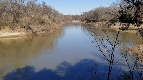
사진
위치 Trinity River Greenbelt Goat Island Preserve - Dallas County Nature Preserve
Trinity River Greenbelt Goat Island Preserve - Dallas County Nature Preserve — 에 위치한 지역 명소 2800 Post Oak Rd, Hutchins, TX 75141, United States 그리고 카테고리에 속합니다 — nature preserve. 이 장소에 대한 평균 방문자 평점 — 4.2 (~에 따르면 72 등급, 오픈 소스 및 2022년 관련 정보).
정확한 위치 — Trinity River Greenbelt Goat Island Preserve - Dallas County Nature Preserve, 빨간색 마커로지도에 표시.
당신은 할 수 있습니다 길찾기 Trinity River Greenbelt Goat Island Preserve - Dallas County Nature Preserve 내 위치의 지도에서.
그 밖에 흥미로운 점 시고빌? 시티페이지에 가시면 모든 명소를 보실 수 있습니다.
좌표
Trinity River Greenbelt Goat Island Preserve - Dallas County Nature Preserve, 미국 십진수 형식의 좌표: 위도 — 32.633348022770775, 경도 — -96.6623813752722. 도, 분, 초로 변환 할 때 Trinity River Greenbelt Goat Island Preserve - Dallas County Nature Preserve 다음 좌표가 있습니다: 32°38′0.05 북위 과 -96°39′44.57 동경.
가까운 도시
근처에 위치한 가장 큰 도시:
- 메스키테 — 15 킬로미터
- 댈러스 — 28 킬로미터
- 갈런드 — 32 킬로미터
- 리처드슨 — 38 킬로미터
- 어빙 — 43 킬로미터
- 그랑 프레리 — 44 킬로미터
- 플라노 — 45 킬로미터
- 캐롤턴 — 49 킬로미터
- 알링턴 — 54 킬로미터
- 프리스코 — 62 킬로미터
- 포트워스 — 75 킬로미터
- 덴턴 — 84 킬로미터
- 웨이코 — 133 킬로미터
- 킬린 — 203 킬로미터
- 비치타 팔스 — 228 킬로미터
- 슈리브포트 — 260 킬로미터
- 오스틴 — 286 킬로미터
- 노르만 — 297 킬로미터
- 애빌린 — 299 킬로미터
수도까지의 거리
수도까지의 거리 (워싱턴) 에 관한 것입니다 — 1899 킬로미터.